Media Release
From: Springer NatureOcean sciences: Rafting seabirds provide clues to ocean currents
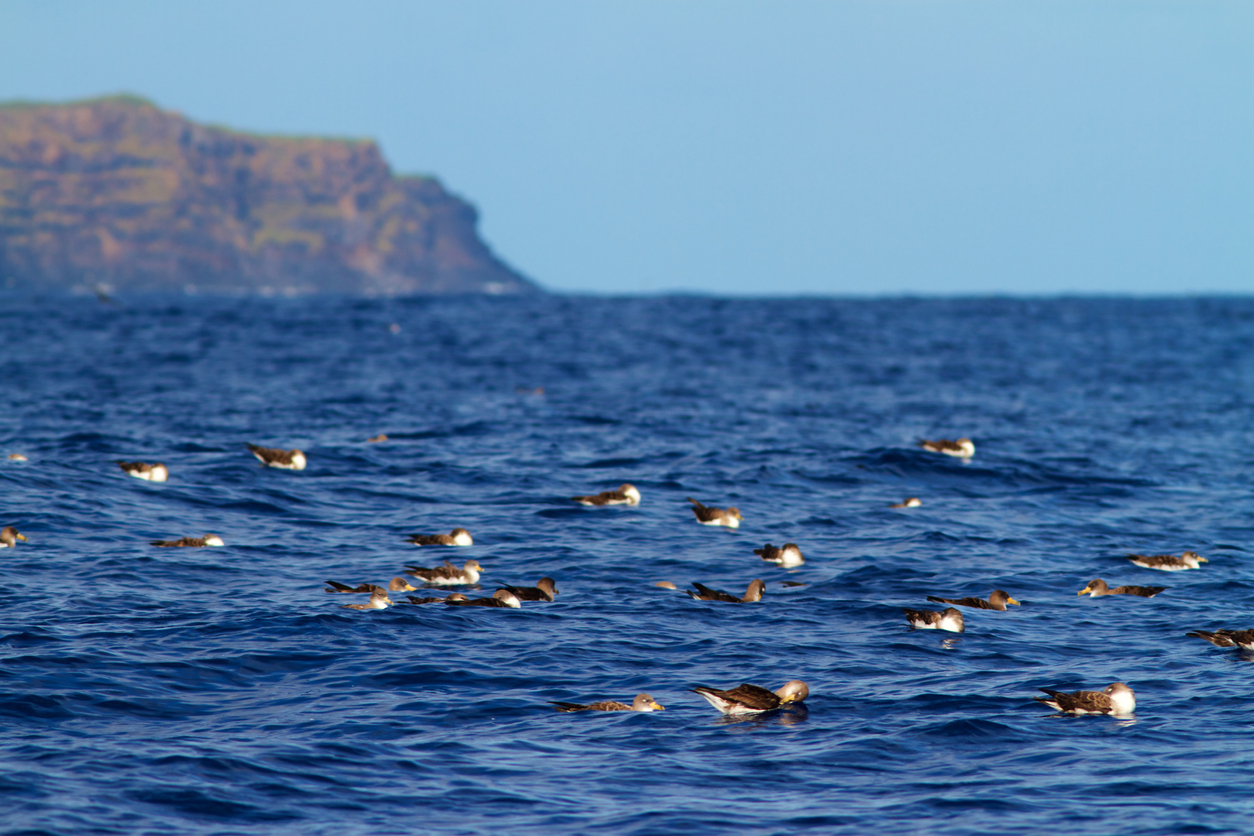
Tracking birds drifting on the sea surface while at rest—a behaviour known as rafting—can be used to measure surface currents and local winds, according to a study in Scientific Reports.
Antonio Sánchez-Román and colleagues fitted GPS devices to Scopoli’s shearwaters (a species of seabird) to obtain information on currents and winds from the ocean surface. These data are normally collected from drifting buoys, gliders and high-frequency radar to supplement satellite data.
Overall, rafting periods were found to represent around 10% of the total seabird activity. The remaining 90% were spent on foraging trips, feeding, incubation and chick-rearing. On average, Scopoli’s shearwaters spent up to 6 hours per day resting on the sea surface.
The authors compared 405 seabird drift trajectories measured by GPS from 75 birds, with data on wind patterns and surface currents collected by satellites and surface buoys. Out of the 405 trajectories, 126 (31%) followed paths affected by local winds, whereas trajectories driven by surface currents represented 71 tracks (18%). The authors also identified 109 trajectories (27%) that were driven by both winds and surface currents. Using this information, they found that the tracks were generally consistent with features observed in the data obtained from satellites and buoys. The authors suggest that GPS data from rafting birds can be used to obtain surface-level information on ocean currents and local winds.


