

Attachments
Note: Not all attachments are visible to the general public. Research URLs will go live after the embargo ends.

 International
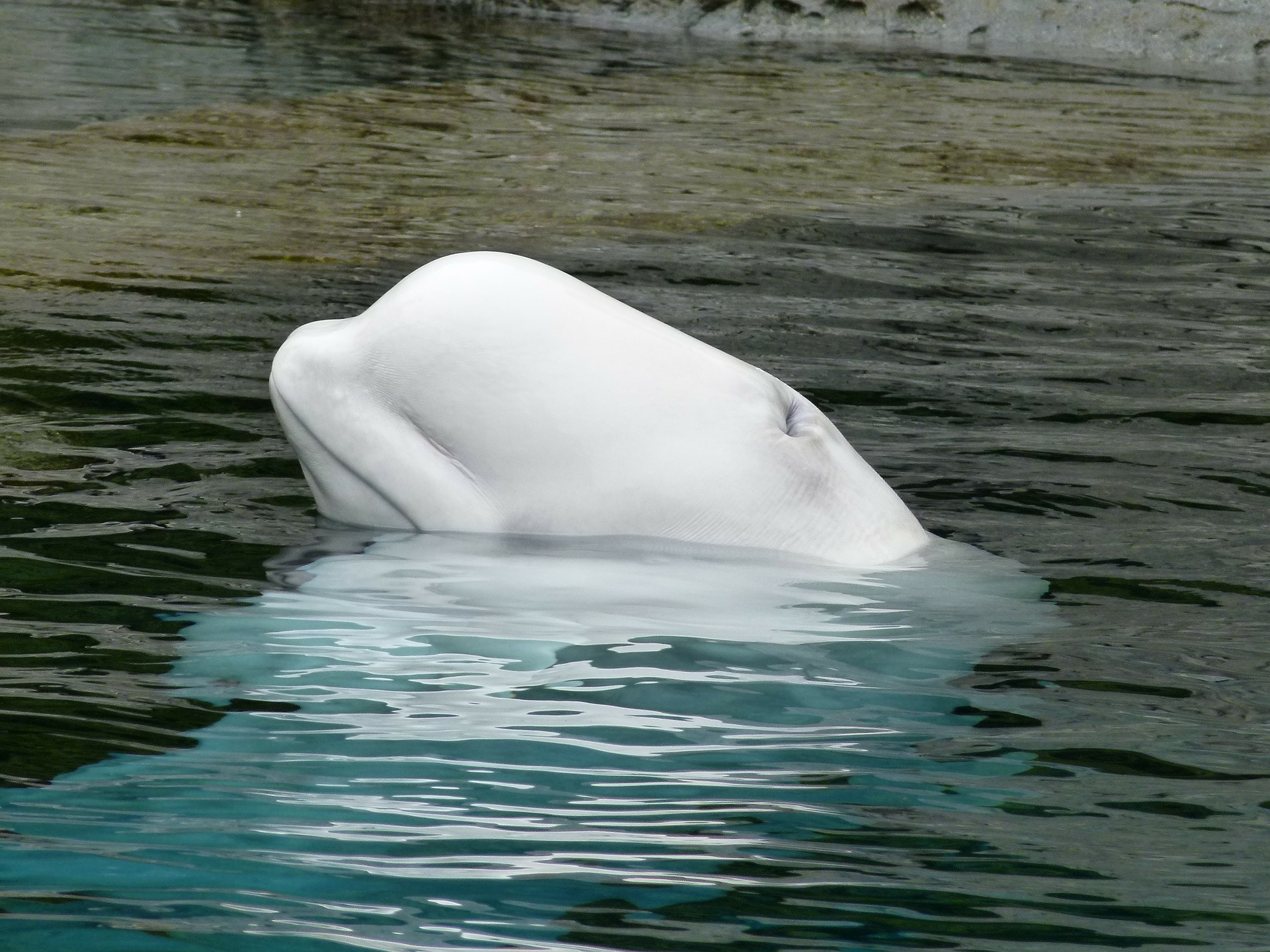
Canadian researchers have figured out that a satellite orbiting above us can be used in conjunction with very high resolution cameras to track and classify both narwhals and beluga whales swimming through the Arctic waters. The satellite, zooming around the planet at a height of 617km, can take incredibly detailed photos, and the researchers found that 12 images taken between the end of 2017 and 2019 showed a total of 292 beluga whales and 109 narwhals going about their swimmy-business. The team believes satellite imagery could be a better means of tracking the aquatic mammals than all other current methods.
Note: Not all attachments are visible to the general public. Research URLs will go live after the embargo ends.

