
 Australia
Expert Reaction
These comments have been collated by the Science Media Centre to provide a variety of expert perspectives on this issue. Feel free to use these quotes in your stories. Views expressed are the personal opinions of the experts named. They do not represent the views of the SMC or any other organisation unless specifically stated.
Dr Daniel Smith is an Adjunct Associate Professor at James Cook University
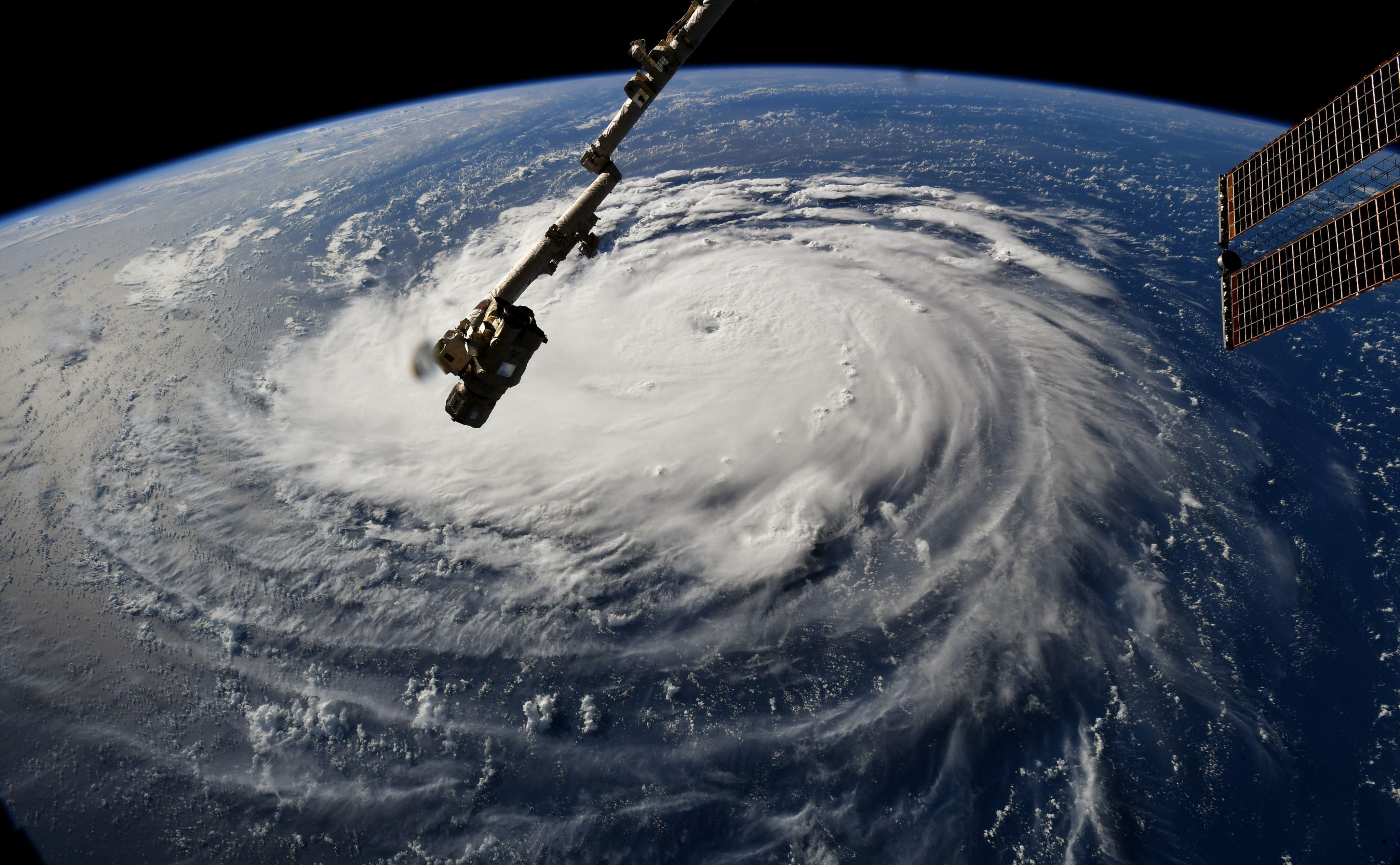
Based on guidance here at NCAR - National Centre for Atmospheric Research - (and elsewhere) models are in agreement for landfall on NC/SC coastline. [At the time of this comment] Florence is a US Category 2 storm (110 mph, 177 km/h). This part of the US coast does not see frequent hurricane landfall.
Emergency managers have called for evacuations in most coastal areas of North Carolina and northern South Carolina.
Aside from differences in design wind-speed, I suspect the housing and infrastructure this far north will not be as well-equipped (construction quality, etc.) as the Florida/Texas coastlines. Regarding construction styles, there are some similarities between typical housing in this area (timber-frame, elevated on piers) of the coast and “Queenslander-type” construction.
Newer homes right on the coast are built to 140-150 mph (240 km/h) so Florence will be less than design-level (see attached). However, similar to our NQ situation, there are many older homes not designed to the same strength and therefore at higher risk of severe structural damage.
Unfortunately, the system is expected to stall over the Carolina's coast (due to a high pressure system over mainland US) which means that hurricane-force winds may be present for 1-2 days, increasing potential for fatigue related failures.
In addition, the stall has led to some rainfall estimates of ~1.5 m. Regardless of the wind and rain, the NC/SC coastline is a very low-lying area so storm surge is predicted to be a major threat, with water levels estimated to be from 1 to 3 m across the impact zone for NC.

Multimedia
Attachments
Note: Not all attachments are visible to the general public. Research URLs will go live after the embargo ends.

