
 Australia; Pacific; International
News release
From:
Triple-dip La Niña upends conventional wisdom on well-known weathermaker
Nature has a way of tripping you up when you think you know the answers, researchers explain
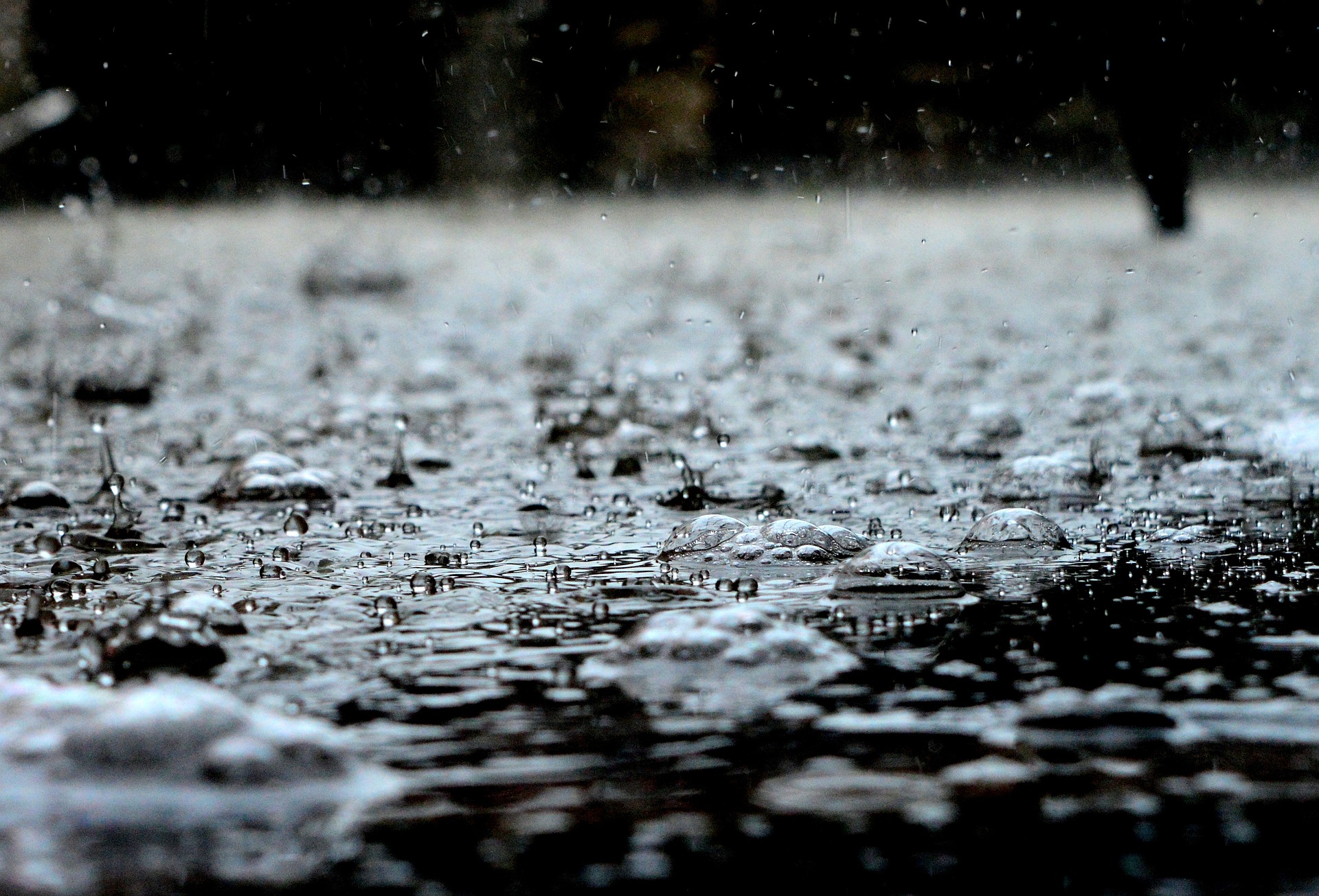
MUNICH – La Niña, the cold phase of the El Niño Southern Oscillation climate pattern, often brings flooding to Australia, extreme drought to the southwestern U.S., and cold wet winters to the Pacific Northwest. This pattern more or less recurred the past three years as part of a conveyor belt of weather disasters spawned by a rare “triple-dip” La Niña. While seasonal forecasts suggest that the tropical Pacific is now transitioning to a warm El Niño phase, scientists like Michael McPhaden of the U.S. National Oceanic and Atmospheric Administration are trying to figure out what caused the triple-dip La Niña and whether such events will become more likely as Earth warms. McPhaden will present his team’s analyses next week during the European Geosciences Union (EGU) General Assembly EGU23.
Scientists hypothesize that multiyear La Niña events are caused by a rebound from preceding extreme El Niño events. The thought is that extreme El Niños drain the tropical Pacific of heat, causing a deficit that takes years to recover — hence, multiyear La Niñas can occur.
Think of it like a pendulum, McPhaden says. “A big swing in one direction means the pendulum will make a big swing in the other direction.” But the current three-year La Niña was not preceded by an extreme El Niño and thus doesn’t fit that scenario, McPhaden explains. “Nature has a way of tripping you up when you think you know the answers. The easy formula ‘Big El Niño followed by multiyear La Niña’ was a nice rule of thumb. But it doesn't work all the time.”
So, what caused the last three years of La Niña? Extreme conditions far from the tropical Pacific, perhaps, McPhaden and his team hypothesize. Their analyses indicate that anomalous warmth in the tropical Indian and Atlantic oceans energized the La Niña, leading to the three-year event. “Something needed to kick the system in the direction of La Niña so as to trigger the self-reinforcing feedbacks that characterize El Niño and La Niña variations,” McPhaden says. “We think that kick may have first come from the Indian Ocean with a later boost from the Atlantic.”
As to the bigger question — whether we’ll see more such events in the future — McPhaden says “we don’t know, but scientists are starting to address this question.” But, he says, the tropical Pacific has been trending toward a more La Niña-like background state over the past 40 years, which may have set the stage for the triple-dip La Niña.
Is that trend a natural variation or caused by rising greenhouse gas concentrations in the atmosphere? What might that mean for you? Learn more about how ocean-atmosphere dynamics affect our global weather and how they’re changing during the CL2.2 session at EGU23 on Monday, 24 April, at 08:35 CEST.
The authors will also be available to the media on Tuesday 10:30 - 13:30 CEST and on Thursday 9:30 - 10:30 and 12:00 - 13:00 CEST.
Note to the media:
When reporting on this story, please mention the EGU General Assembly 2023, which is taking place from 23-28 April 2023. This paper will be presented in session CL2.2 on Monday, 24 April, 08:30-12:15 CEST. If reporting online, please include a link to the abstract: https://meetingorganizer.copernicus.org/EGU23/EGU23-10801.html
Press release text by Megan Sever.
Attachments
Note: Not all attachments are visible to the general public. Research URLs will go live after the embargo ends.


