
 International
News release
From:
Investigating Mount Everest’s recent growth-spurt
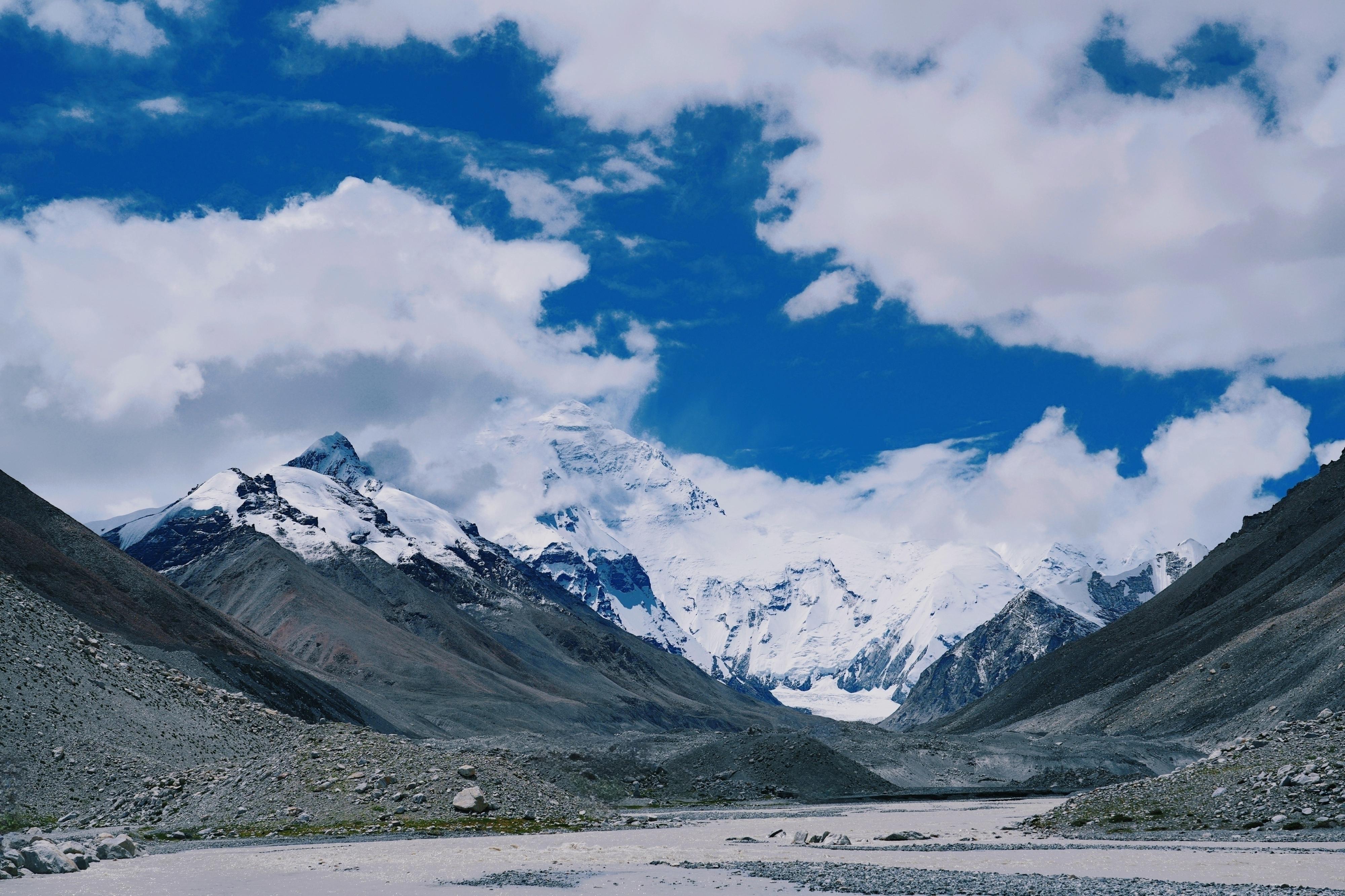
Recent uplift of Mount Everest (also referred to as Chomolungma) may have been assisted by the landscape response to a river capture event, which occurred approximately 89,000 years ago, according to a Nature Geoscience paper. The authors estimate that this event could have contributed between 15–50 metres to Everest’s elevation.
Formed by the subduction of the Indian tectonic plate under the Eurasian plate, the Himalayas host some of Earth’s highest mountains. Mount Everest stands at 8,849 metres above sea level — about 250 metres higher than the Himalaya’s other tallest peaks. Previous analysis of GPS data suggests recent uplift of Everest of about 2 millimetres per year, which exceeds the expected uplift rate of the mountain range, suggesting there may be a mechanism other than the ongoing regional tectonics contributing to this process.
Jin-Gen Dai and colleagues investigated whether the changes to the mountain’s neighbouring rivers could have contributed to the recent uplift of Everest. They used numerical models to simulate the evolution of the Kosi River network to compare it to existing topography. The models suggest that the Arun River — a main tributary of the Kosi River — was involved in the capture of another river 89,000 years ago. The diversion of river water led to a pulse of increased river erosion as the river adjusted to its new path and resulted in the creation of the deep Arun River Gorge. Dai and colleagues argue that although erosion would have lowered the elevation locally along the river channel, the relatively sudden removal of the eroded mass from the creation of the gorge would have triggered the surrounding landscape including Mount Everest to compensate with surface uplift.
The authors note that, although the contribution may be small compared to tectonic processes, river capture can play a role in both the erosion and ascent of high topography.
Multimedia


