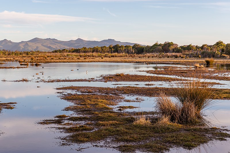
New drain detection methods could improve wetland conservation

Publicly released:
New Zealand
Michal Klajban, CC BY-SA 4.0 <https://creativecommons.org/licenses/by-sa/4.0>, via Wikimedia Commons

Over the last 200 years, the natural extent of wetlands in Aotearoa has been reduced by around 90% due to drainage. New LiDAR (light detection and ranging) techniques provide high resolution data of ground surface elevation, so small changes due to drains become obvious. Researchers conducted a case study in Southland and found that national drain data severely underestimates the extent of wetland drainage. The authors say that LiDAR is a promising tool that can be used to identify existing drains near wetlands, and to develop strategies to restore degraded wetlands.

Media release

From: Manaaki Whenua - Landcare Research

Journal/
conference:
New Zealand Journal of Ecology
Research:Paper
Organisation/s: Manaaki Whenua - Landcare Research, University of Auckland, Department of Conservation, Collaborations, NZ
Funder: We acknowledge Strategic Science Investment Funding for Crown Research Institutes from the New Zealand Ministry of Business, Innovation and Employment’s Science and Innovation Group.
Media Contact/s
Contact details are only visible to registered journalists.