
 New Zealand
Expert Reaction
These comments have been collated by the Science Media Centre to provide a variety of expert perspectives on this issue. Feel free to use these quotes in your stories. Views expressed are the personal opinions of the experts named. They do not represent the views of the SMC or any other organisation unless specifically stated.
Associate Professor Jon Tunnicliffe, School of Environment, University of Auckland
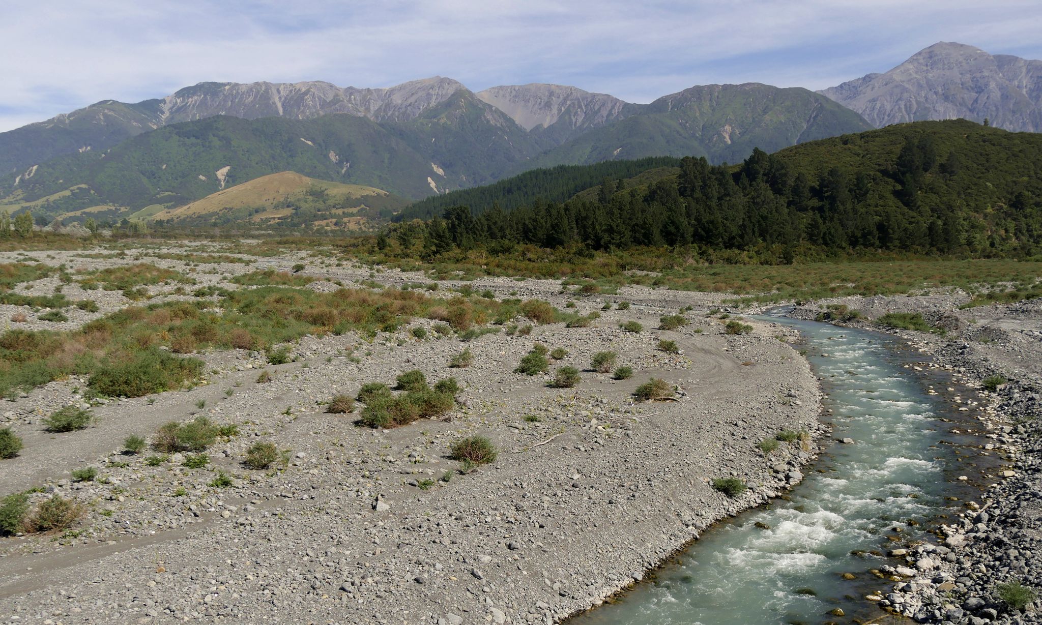
The Hāpuku Landslide was the largest of many tens of thousands of seismically triggered mass-movements in the immediate wake of the 2016 Kaikōura Earthquake. Though there were many serious impacts on the local population and infrastructure from this earthquake, the event also offered an unprecedented opportunity to study the many after-effects of such an event, including the cascading effects of a large landslide in a steep alpine catchment.
"Our work, which was supported by an MBIE Endeavour Grant, provided the chance to collect multiple, detailed airborne LiDAR surveys in terrain that is otherwise quite difficult to access. There was considerable uncertainty, at the time, what the fate of over 6 million cubic metres of landslide material, perched high in a steep valley, would be.
"We can now see that much of it (roughly 2/3rds) remains stored along the upper reaches of the river system. When will it all be released? We can't predict; but so far it seems to be eroded only incrementally during storm events - the downstream effects have not been that extensive in the lower river reaches.
"We now have a much better understanding of how these systems adjust and buffer sediment delivery to downstream areas. The Hāpuku is not dissimilar to other valleys along the ranges of the South Island that can trap greater or lesser amounts of landslide debris for centuries.
"The paper addresses the much longer term question of 'how do mountain valleys evolve, if they are unable to erode their bed because they are laden with landslide sediment'? This case is one of several in the world that helps to paint a picture of the high variability of erosion rates in mountain valleys.
"We point out a number of possible mechanisms in play in moderating sediment transfers, such as the variable accommodating 'room' along the valley and the 'armouring' of the bed by cobbles and boulders. The process observations from this work will help to inform and refine future modelling work that can help us to better anticipate impacts from major seismic events in NZ.

