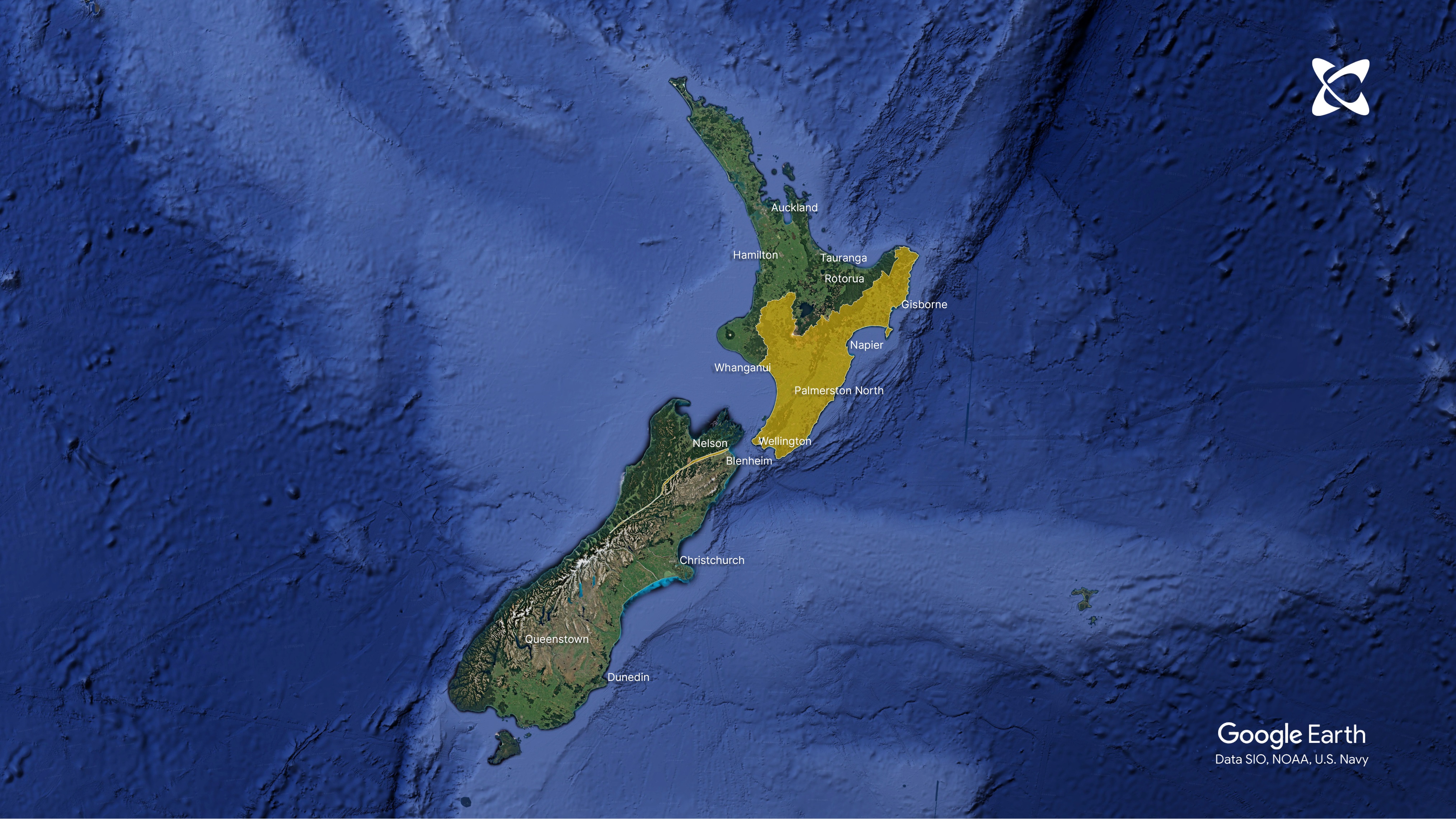
Aotearoa's active faults in high resolution

Publicly released:
New Zealand
Areas with high resolution data, NZ Active Faults database. Credit: GNS Science.

An updated dataset of Aotearoa's active faults shows fault locations on a fine scale for much of the south and east of the North Island. Knowing the locations of faults that have broken or deformed the ground surface in the last 125,000 years is important for research, hazard assessment, and land-use and emergency planning. The second version of the NZ Active Faults Database, available online through GNS Science, compiles high-resolution locations and characteristics of such faults that are detectable at the present-day surface. The authors of the accompanying paper say these data can be used to develop Fault Avoidance Zones for landuse planning, and that 'future aspirations' include loading data for more areas.

Expert Reaction

These comments have been collated by the Science Media Centre to provide a variety of expert perspectives on this issue. Feel free to use these quotes in your stories. Views expressed are the personal opinions of the experts named. They do not represent the views of the SMC or any other organisation unless specifically stated.

Regine Morgenstern, Senior Paleoseismology Technician, GNS Science, and lead author of this study, comments:

This publication describes, for the first time, the high-resolution dataset of the New Zealand Active Faults Database, its intended purpose, and recent improvements.

 "It accompanies the recent public release of the high-resolution fault lines and zones on the webmap at https://data.gns.cri.nz/af/.

 "I am immensely proud of what the team has achieved.

 "The data are not new, but a pressing need to raise awareness of the high-resolution dataset and make it freely available in a single source has meant we prioritised this work.

 "It is expected the dataset will be useful for homeowners, councils, hazard planners, infrastructure managers, geotechnical practitioners and researchers to better understand the potential location of surface fault ruptures during future large earthquakes, at a relevant scale.

 "Knowing where New Zealand’s active faults are located can help people make informed decisions about where to build and make existing infrastructure more resilient to the effects of earthquakes.

 "Although this publication marks a major milestone for the dataset, this work is by no means complete as we continue to map faults in detail and discover new ones using lidar data recently collected across much of New Zealand.

Last updated:  29 Nov 2024 7:46am
Contact information
Contact details are only visible to registered journalists.
Declared conflicts of interest Regine Morgenstern is lead author of this paper

Attachments

Note: Not all attachments are visible to the general public. Research URLs will go live after the embargo ends.

Other GNS Science, Web page NZ Active Fault Datasets
Journal/
conference:
New Zealand Journal of Geology and Geophysics
Research:Paper
Organisation/s: GNS Science, University of Canterbury
Funder: This work was supported by the NZ Ministry of Business, Innovation and Employment (MBIE) through the Hazards and Risk Man- agement and Understanding Te Riu a Māui / Zealandia pro- grammes and their predecessors (Strategic Science Investment Fund (SSIF) contract C05X1702) and the Capa- bility Development Fund (CDF) project 900CDF18-00. The NZAFD-HighRes dataset is a compilation of many research and consultancy projects completed since the NZAFD was first established.
Media Contact/s
Contact details are only visible to registered journalists.