
 International
News release
From:
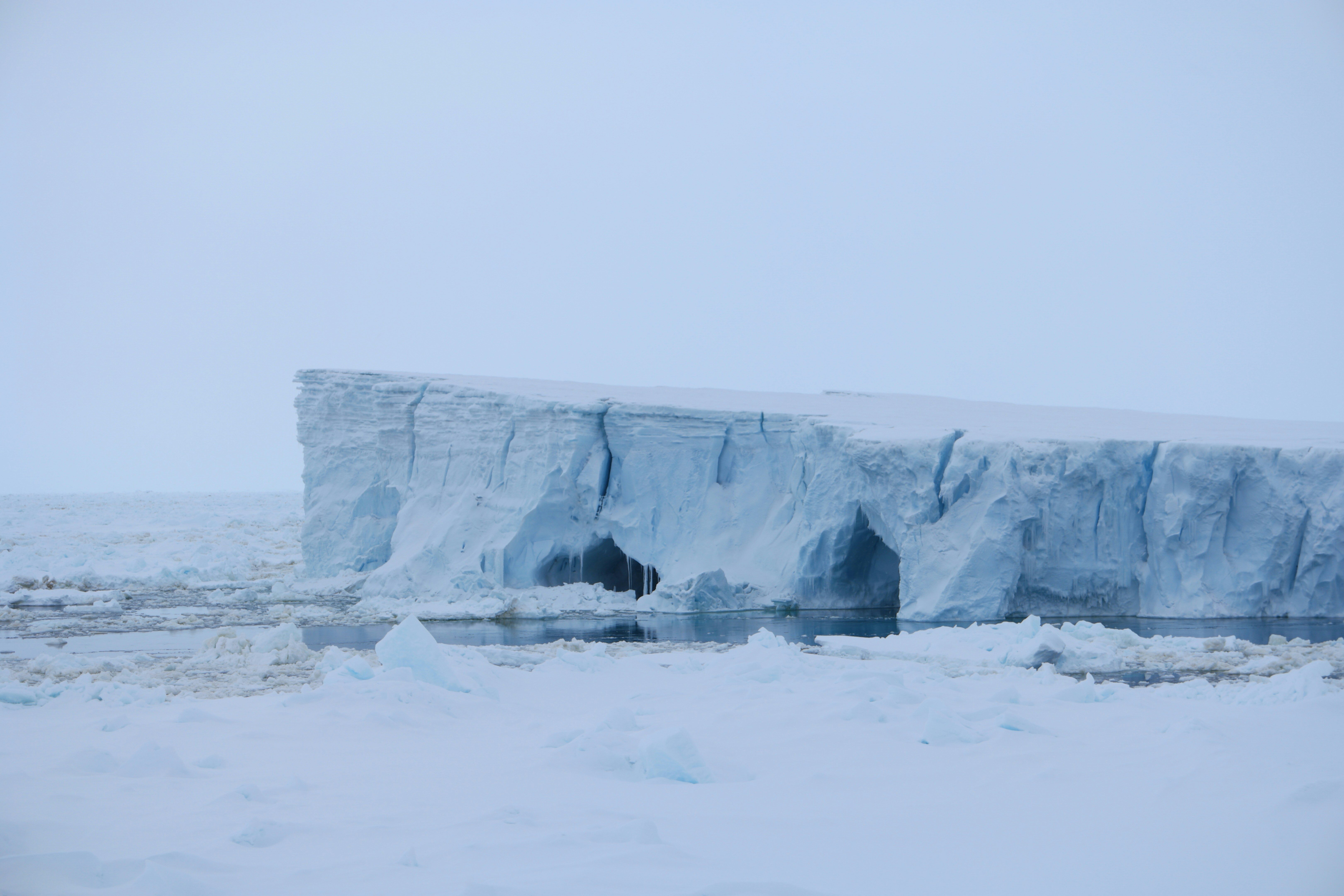
Glacier grounding line retreat in Antarctica
Researchers charted 30 years of grounded ice loss along the coast of Antarctica. A glacier’s grounding line is the boundary between the place where ice rests on bedrock and the place where ice floats on the ocean. Movement of the grounding line over time can indicate glacier stability and mass balance. Eric Rignot and colleagues analyzed data from 15 satellite missions to assemble a continental-scale record of grounding line migration around the Antarctic Ice Sheet from 1992 to 2025. The authors tracked the movement of the grounding line and the ice grounding zone, which the line migrates across during tidal cycles. The analysis indicated that the Antarctic Ice Sheet has remained stable over more than 77% of its coastal length, with no grounding line migration detected. Grounding line retreat was concentrated in the northeast and southwest of the Antarctic Peninsula; Wilkes and George V lands in East Antarctica; and the Bellingshausen Sea, Amundsen Sea, and Getz Ice Shelf sectors of West Antarctica. Parts of West Antarctica saw notable retreats of 10 kilometers to more than 40 kilometers. Over the past three decades, the Antarctic Ice Sheet lost a total of around 12,820 square kilometers of grounded ice. According to the authors, the findings could provide a benchmark for projections of future Antarctic Ice Sheet loss and sea level rise.

