Australia; International; TAS
News release
From:
A sea-ice scientist at the University of Tasmania (UTAS) is part of a new NASA satellite mission designed to deliver greater global coverage of land, sea and ice than all prior missions combined.
NASA announced on 5 February that the Earth Dynamics Geodetic Explorer (EDGE) satellite program has been selected for continued development.
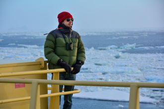
Dr Alex Fraser of the Australian Antarctic Program Partnership (AAPP) at UTAS is a collaborator in the program led by the Scripps Institution of Oceanography at the University of California, San Diego.
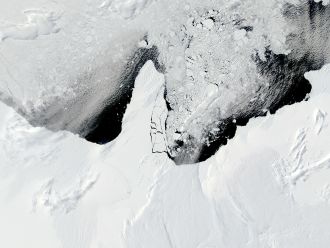
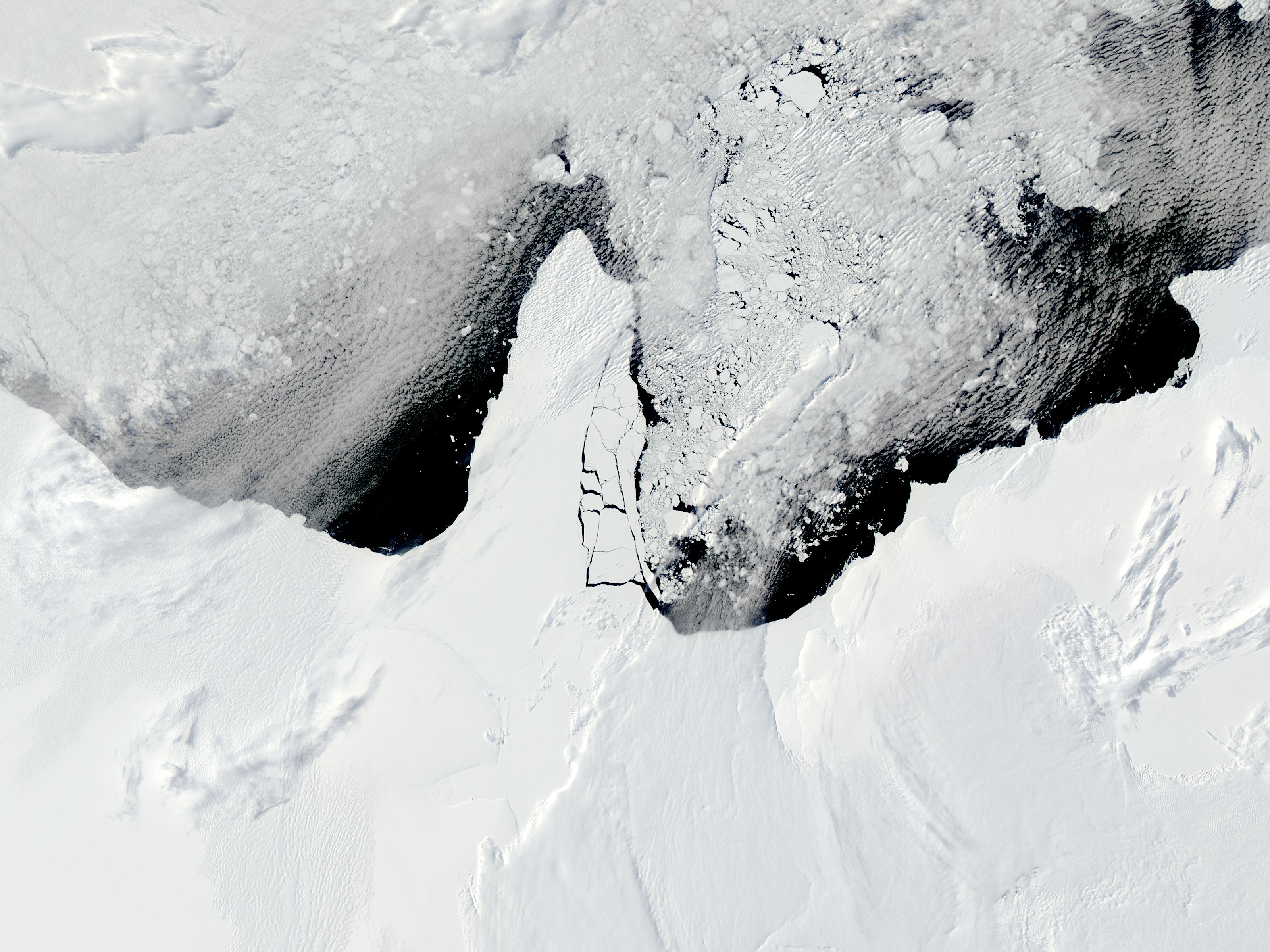
Planned for launch no earlier than 2030, EDGE will use new laser technology to scan the height of surface features in 120-metre-wide strips around the globe, providing better coverage and higher resolution than any previous satellite altimeter.
Dr Fraser said the EDGE satellite will be the first spaceborne laser altimeter system to monitor the impacts of climate change on terrestrial ecosystems and ice simultaneously.
“My work involves tracking how sea-ice coverage around Antarctica is changing over time under global heating, and this satellite will revolutionise that research.”
“I’m part of an international team that will use the EDGE satellite to measure the height of Earth’s dynamic surface in incredible detail, from deepening cracks in Antarctic glaciers to the height of Amazon rainforest,” he said.
“The EDGE satellite will be capable of measuring vertical differences with an accuracy of less than three centimetres from an orbit 390 kilometres above the Earth.”
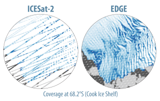
“With NASA’s support, we’re able to build a next-generation satellite instrument with 40 laser beams, compared to the six beams in the current altimeter on NASA’s ICESat-2.”
Dr Fraser said the EDGE satellite would enable important advances in sea-ice research, such as:
- determining the roles that ocean waves are playing in the dramatic loss of Antarctic sea ice witnessed over the past decade,
- monitoring the thickness and floe size of sea ice in unprecedented detail, and
- continuing the legacy of laser altimeter sea ice measurements from ICESat-2, which has been operational since 2018.
There are several other Tasmanian connections with the EDGE project:
- AAPP affiliate Dr Petra Heil, formerly with the Australian Antarctic Division and now the British Antarctic Survey, is a collaborator.
- Principal investigator for the EDGE satellite mission, Scripps glaciologist Prof Helen Amanda Fricker, is an alumna of UTAS.
Multimedia