
 Pacific; International
News release
From:
Saffir-Simpson hurricane scale in a warming world
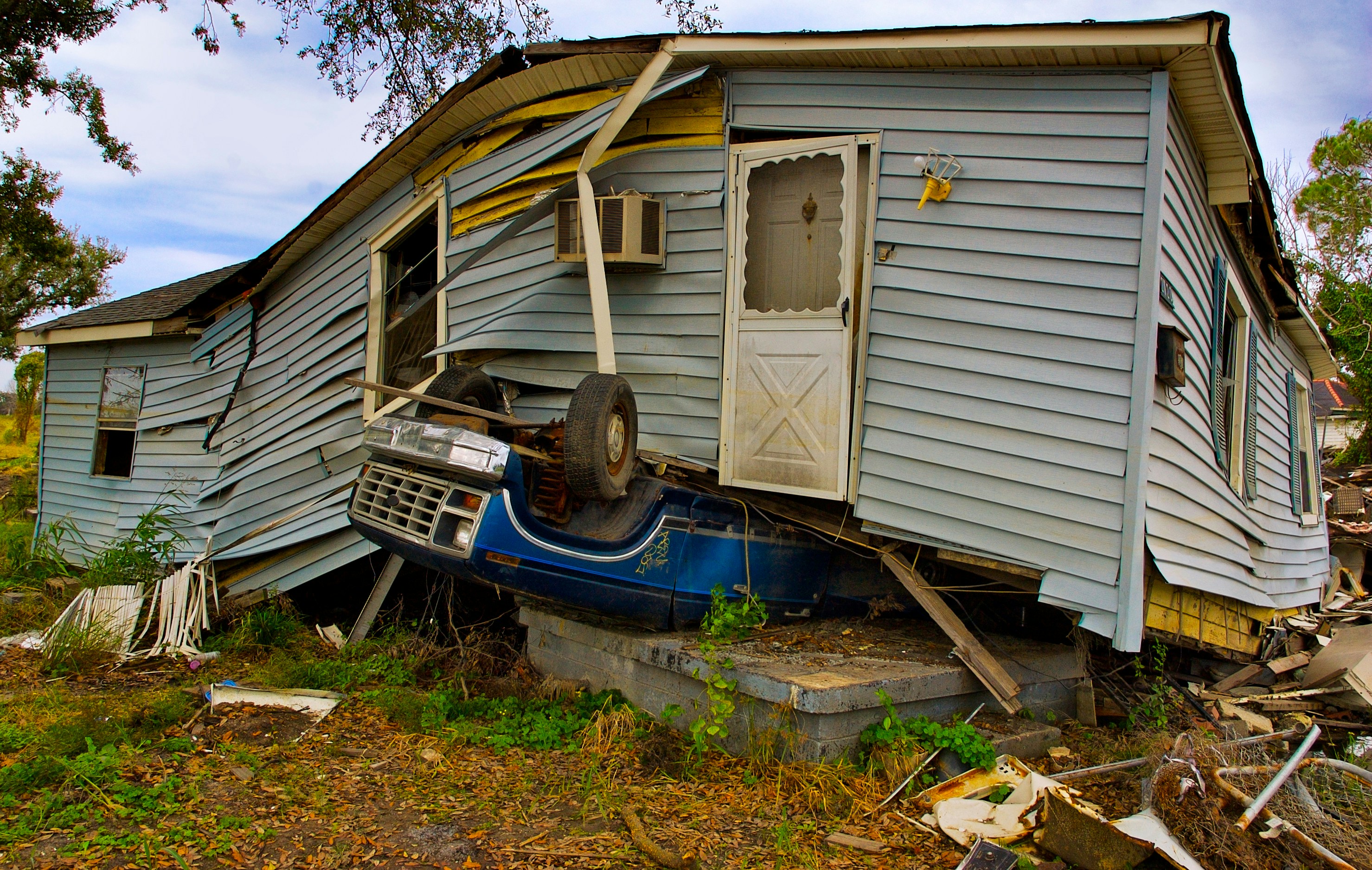
Researchers introduce an extension of the Saffir-Simpson hurricane wind scale to include a Category 6. Since the early 1970s, the National Hurricane Center has communicated the risk of damage from hurricanes using the Saffir-Simpson hurricane wind scale. The scale labels hurricanes as Category 1 through 5, with Category 5 indicating any hurricane with windspeeds of 70 m/s or greater. Michael F. Wehner and James P. Kossin examined extremes in hurricane wind speeds to determine whether the open-ended Category 5 is sufficient to communicate risk in a warming climate. An increase in ocean temperatures provides additional heat energy for hurricane intensification, the authors note. The authors introduced a hypothetical Category 6, which would encompass storms with wind speeds greater than 86 m/s. Analysis of historical data from 1980 to 2021 showed five storms that would have been classified as Category 6, all of which occurred in the past 9 years of the record. Reanalysis and climate modeling suggested that the risk of Category 6 storms increases by 50% near the Philippines and doubles in the Gulf of Mexico with 2 °C of global warming above pre-industrial levels. According to the authors, appending the Saffir-Simpson hurricane wind scale may raise awareness of the intensification of hurricanes and other tropical cyclones in a warming climate.
Expert Reaction
These comments have been collated by the Science Media Centre to provide a variety of expert perspectives on this issue. Feel free to use these quotes in your stories. Views expressed are the personal opinions of the experts named. They do not represent the views of the SMC or any other organisation unless specifically stated.
Dr Daniel Kingston, Senior Lecturer, University of Otago, comments:
The Saffir-Simpson hurricane wind scale is officially used to classify hurricanes (i.e. tropical cyclones) that develop in the Atlantic and northeast Pacific oceans. It is similar (but has slightly different windspeed thresholds) to the systems used to classify tropical cyclones in the south Pacific.
This study picks up on a key feature of these classification systems, that the most extreme category (5) is open-ended – in this scale, anything above 252 km/h. This is problematic in the context of communicating expected increases in peak tropical cyclone wind speeds under climate change. Accordingly, this study explores how tropical cyclone classification would change if a Category 6 threshold was introduced at 309 km/h. Five storms have already breached this hypothetical Category 6 threshold, and all have occurred since 2013 – with the threshold expected to be breached increasingly under ongoing climate change.
Although tropical cyclones do not impact New Zealand directly, we saw with Cyclone Gabrielle how the remnants of these systems can be devastating when they cross our path. The prospect that these systems could be even more intense when they arrive on our shores is highly concerning.

Raveen Das, Manager of New Zealand’s Tropical Cyclone Warning Centre, MetService, comments:
MetService welcomes this research into the open-ended Saffir-Simpson hurricane wind scale.
In our region we use the Australian tropical cyclone intensity scale (used by the Fiji Met Service), it differs only slightly from the Saffir-Simpson wind scale and is also open ended therefore this study has implications for our region and how we deal with the most severe storms.
MetService introduced a New Zealand based colour coded warning system in May 2019 with a new category 'red' at the higher end of the scale to address the increase in extreme weather events due to our changing climate. This has been very successful in warning people about the most extreme weather events. Our Tropical Weather Experts are interested in this paper’s finding as they have also noticed an increase in high intensity tropical cyclones in our region.
It is worth noting that this intensity classification is relationship to maximum wind speed. However, most common, and widespread impacts from any tropical cyclone is water damage, from rain and storm surge.
MetService are closely following this research and any development that could help Meteorological Services to warning people of the intensity of these storms.
