
 Australia; International
News release
From:
Geoscience: Satellite maps reveal global river changes
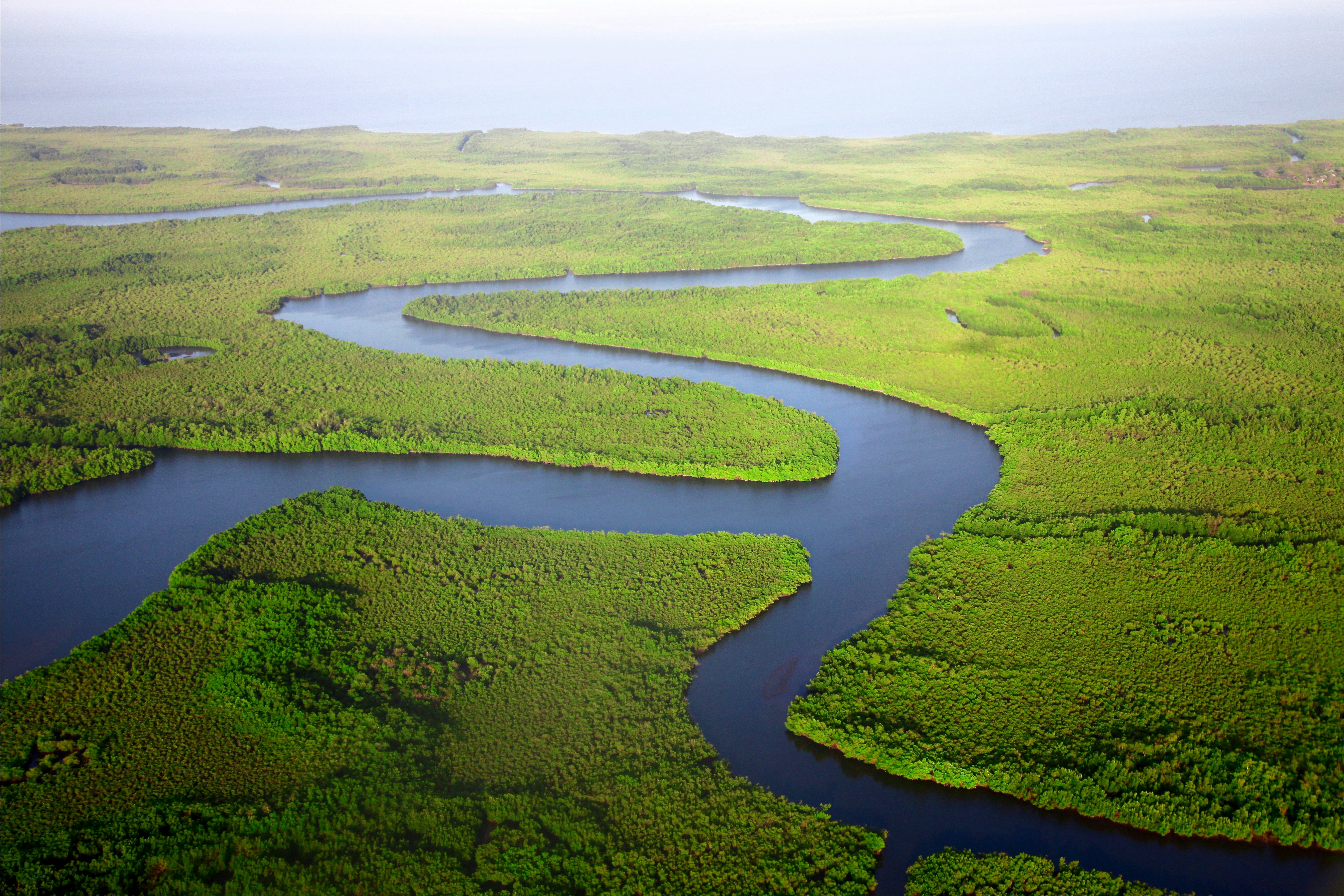
A near‑global map of river channel shape and monthly water‑storage change, based on satellite observations of almost 130,000 river sections worldwide, is reported in Nature. The findings improve understanding of global river behaviour and may support water management and flood‑risk mitigation.
Rivers supply the most accessible freshwater on Earth, yet global estimates of how much water they store and how this storage changes have been limited. Previous research has relied on sparse measurements or models with uncertainties, particularly in the amount of water entering rivers and how quickly water moves through them. This challenge is addressed by the Surface Water and Ocean Topography (SWOT) satellite, which was launched in 2022 to observe Earth’s surface waters.
Arnaud Cerbelaud and colleagues assessed the first year of satellite measurements of river width and water surface height from SWOT (2023–2024), covering 126,674 river reaches worldwide. They analysed how river corridors change shape between their lowest and highest recorded water levels and found a wide variety of channel forms, from steep to gentle and from concave to convex. Several major rivers, including the Amazon, Yangtze, Ganges, Mekong and Mississippi, among others, show more than ten metres between their highest and lowest measured water levels. The authors report clear seasonal and regional patterns in storage, for example, the Amazon basin shows a storage range of about 172.9 km³ (volume of water), while the Nile shows 8.5 km³.
These early observations provide the first-known direct global picture of how river water storage varies through the year. The authors note that gaps remain in regions affected by ice, in floodplains and in places where measurements are still uncertain.
Attachments
Note: Not all attachments are visible to the general public. Research URLs will go live after the embargo ends.


