
 New Zealand; International
News release
From:
Modelling tool provides new insights into New Zealand tsunami hazards
A research team have developed an innovative new method to carry out tsunami hazard assessments, using Aotearoa New Zealand as a case study.
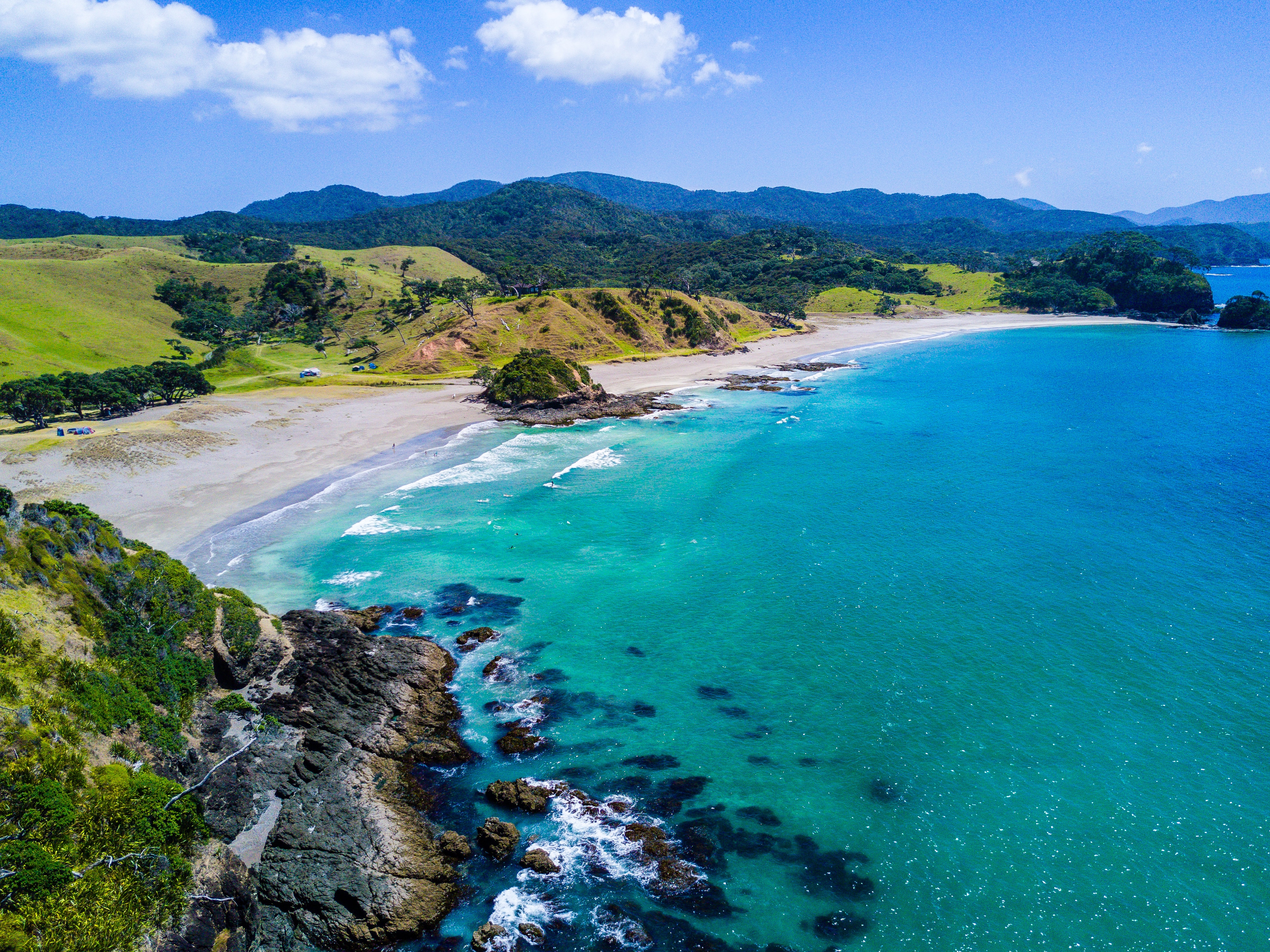
Preliminary results indicate that some earthquakes produce overall maximum tsunami wave heights at the coast of up to 28 metres, and the northern and eastern coasts of the North Island are most at risk of being impacted by the largest tsunami waves.
“Tsunamis are a deadly but infrequent hazard, which makes them hard to study,” says Laura Hughes of Te Herenga Waka Victoria University of Wellington. “This is the first use of a physics-based earthquake catalogue to investigate tsunami hazard, and it overcomes many of the challenges with previous methods.”
➡ Watch a short video explainer of synthetic earthquake catalogues.
Laura, who is part of the Resilience National Science Challenge’s Earthquake & Tsunami team, has just published her research in the Journal of Geophysical Research. The work forms the basis for her PhD research.
Laura modelled the tsunamis generated from 2,585 earthquakes with magnitudes greater than 7.0, from 30,000 years of a synthetic earthquake catalogue. The catalogue was made by using high- performance computing to simulate over 300,000 years of earthquakes in Aotearoa New Zealand.
“We can use the model to investigate how individual tsunami events might impact the coast, and how far inland they travel.”
“Due to the number of earthquakes available to us in the catalogue, we are able to investigate a wider range of potential tsunami scenarios, from those generated by crustal faults, through to tsunamis triggered by a rupture at the Hikurangi subduction zone.”
Laura’s research indicates that modelled earthquakes on the Hikurangi and Tonga-Kermadec subduction zones pose the greatest hazard along many parts of New Zealand's coastline.
The modelling technique has already been used as the basis for estimating tsunami impacts and losses around New Zealand.
“This is a successful proof of concept,” says programme co-leader Dr Bill Fry of GNS Science. “We now know we can successfully use our synthetic earthquake catalogues to estimate risk from earthquake-induced perils such as tsunamis, ground-shaking, landslides and liquefaction."
“This opens the door to next-generation probabilistic risk modelling for many of our natural hazards.”
“This is about keeping New Zealanders safer. The more knowledge we have about our hazards and risks, the better we can plan and prepare.”
What are synthetic earthquake catalogues?
“The full cycle of New Zealand’s earthquake activity spans thousands of years,” explains Bill.
“Modern observations and data only cover the last few decades, and this combined with the incompleteness of geological information means we can’t capture the entire range of possible natural earthquakes, especially the largest, most devastating events.”
The Resilience Challenge’s Earthquake & Tsunami team have created computational models of hundreds of thousands of years of earthquakes.
The team starts with a 3D model of Aotearoa New Zealand and its faults, then uses computer calculations to simulate forces that cause earthquakes. When the forces acting on a fault overcome its strength, this triggers a ‘synthetic’ earthquake. Researchers can then see how the synthetic earthquake redistributes stress onto other faults and leads to other earthquakes.
Attachments
Note: Not all attachments are visible to the general public. Research URLs will go live after the embargo ends.


